The Illustrated Atlas of World War I
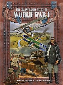
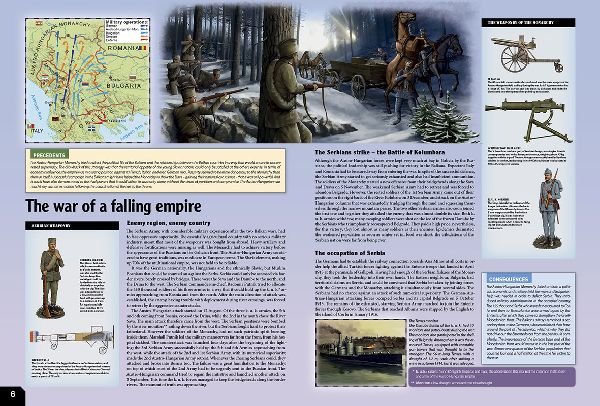
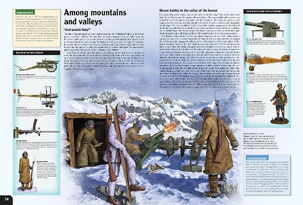
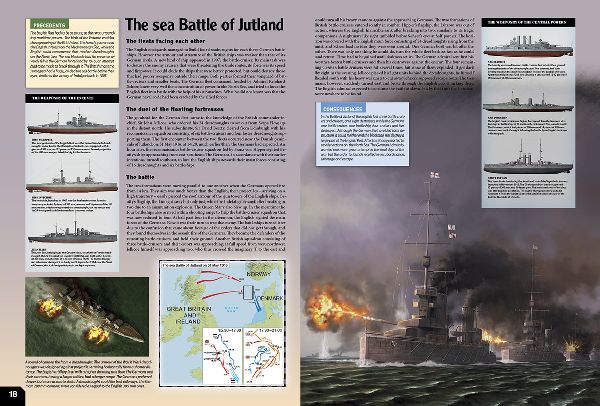
The Illustrated Atlas of World War I gives an insight into the period when the belief in mankind's good nature was lost for ever; into the time when nations preferred to take up arms rather than to endure peace that was shameful for them; into the hordes of unnamed soldiers, who willing accepted the risk and fought heroically for their country and their cause; into the war which the opposing forces believed would end all wars. The Illustrated Atlas of World War I is a guide to the 'Great War', to the shocking fighting that took place in the trenches, on the floating fortresses, in the dogfights and on the battlefields, where modern warfare was born. Expertly written, comprehensive texts brimming with information are complemented by faithful, specially selected illustrations, detailed diagrams and maps. Read the dramatic stories of Verdun, Ypres, the Somme, Isonzo, Passchendaele, and the scenes of other events that today are synonymous with colossal human suffering and senseless sacrifice. Learn about the operations, the weapons, strategies and leaders, and about the events of the war waged almost one hundred years ago that radically and irrevocably changed the future of not only individuals but whole communities and societies.
240 x 325mm
48 pages
2012
technology
war
civilization

Rights sold for
China, Russia, Ukraine
Copyright © 2026. All rights reserved.
